Here you’ll find a map of the island with directions from the ferry to the venue.
Here you’ll find a map of the island with some marked destinations.

Service can be spotty in certain areas such as when driving.
We recommend:
1. Take a screen shot of the island map and directions to have
2. Plug the desired address into your gps and view directions before leaving your accommodation
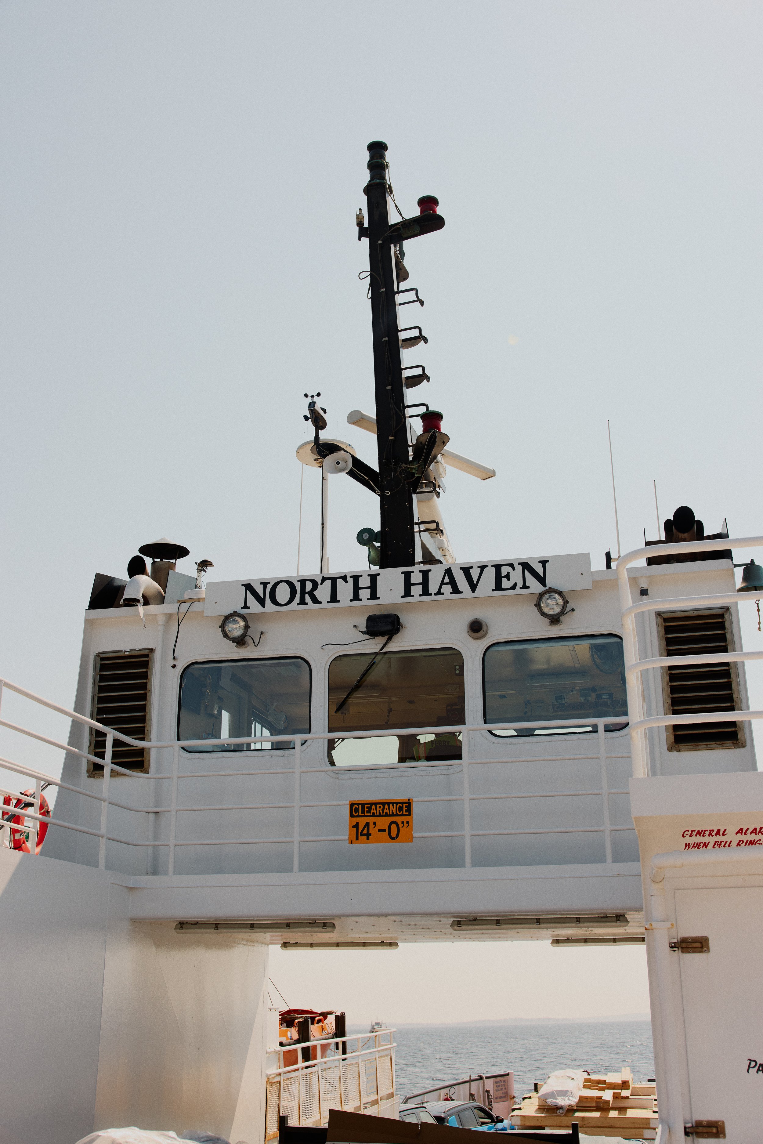
Directions from the Ferry
-
To Wooster Farm (Venue)
Take a right out of the ferry lot (note this road is a one-way). Take your first left onto Iron Point Road in which you will see Calderwood Hall on your right. Follow this road taking a slight left onto Church Street. At the stop sign take a right onto Main Street and keep following the road passing southern Harbor house on the left and the town school up on the right. You’ll see a sign for North Haven Inn & Market in which you will take a left onto Crabtree Road. This road is quite long. This will lead you to the venue. You’ll notice a slight left turn midway. When you get to a big barn and tennis court and see the private roads Benson and Wooster Farm you have arrived.
-
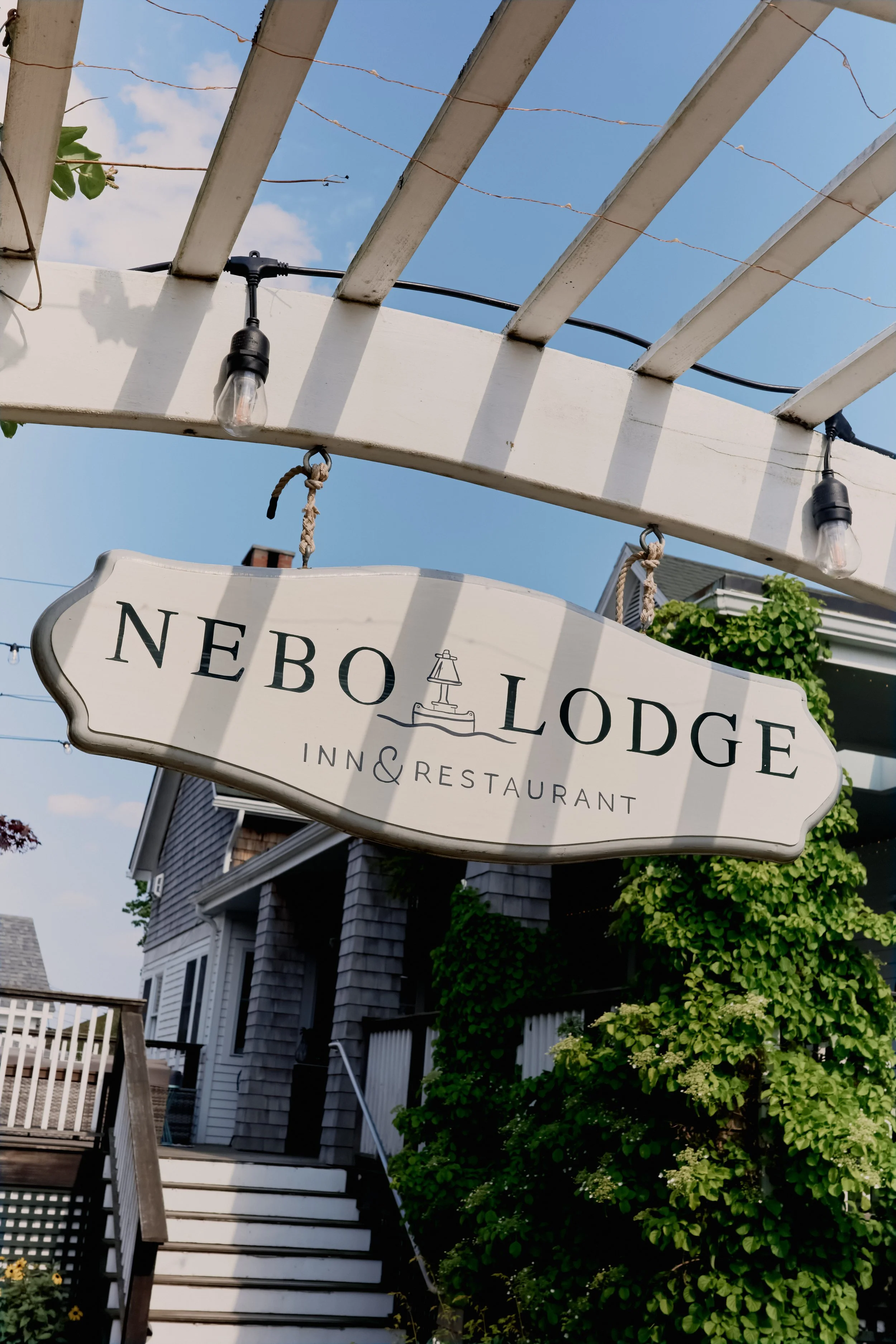
To Nebo Lodge
Take a right out of the ferry lot (note this road is a one-way). Take your first left onto Iron Point Road in which you will see Calderwood Hall on your right. Follow this road taking a slight left onto Church Street. Take a left onto Mullins Lane at the church. Nebo will be on your left.
-
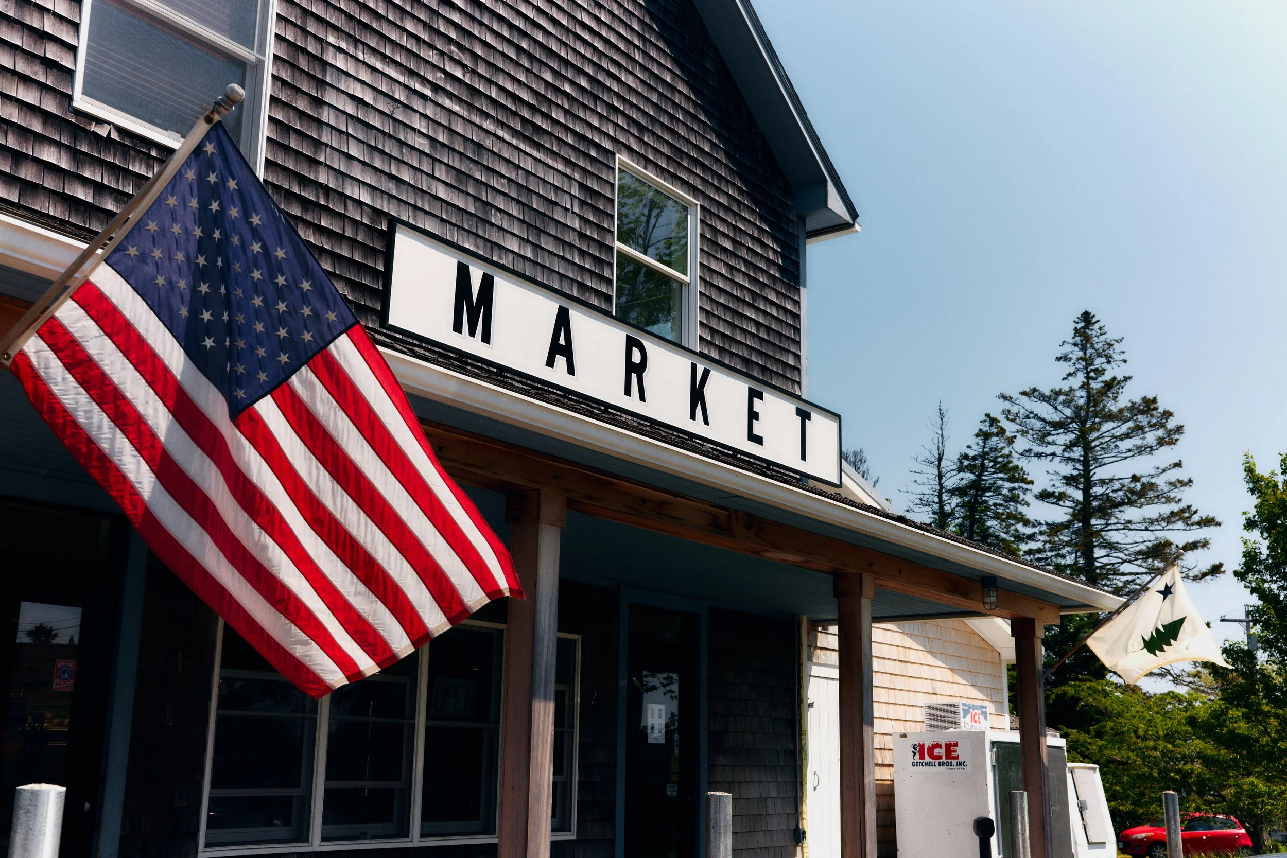
To North Haven Inn & Market
Take a right out of the ferry lot (note this road is a one-way). Take your first left onto Iron Point Road in which you will see Calderwood Hall on your right. Follow this road taking a slight left onto Church Street. At the stop sign take a right onto Main Street and keep following the road passing southern Harbor house on the left and the town school up on the right. You’ll see a sign for North haven Inn & market, continue with a slight right on the road and take an instant left into the parking lot.